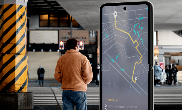
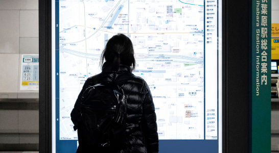
Cizeron's digital wayfinding kiosks provide a self-service option for visitors and guests. It enhances their experience by allowing them to get there without stress or needing assistance from an employee. Our interactive kiosks offer turn-by-turn directions, lighted paths, interactive maps, and mobile hand-off/SMS directional assistance. Our wayfinding services can be effectively implemented in various places, such as college campuses, healthcare facilities, government buildings, hotels, and conference centres.

We are located in Coimbatore, Tamil Nadu, and we are ready to serve in and around Coimbatore. Based on industry requirements, we will customize the software. For more details, contact us.
Cizeron's wayfinding system is flexible and customizable, offering routes, accessible paths, and turn-by-turn navigation. It can be displayed through an interactive map or via the Wayfinding API. The interactive map is ideal for organizations needing a turnkey solution, while the API is suitable for advanced customization. Examples include stadiums with thousands of fans, turn-by-turn directions based on parking lot occupancy, and navigation layered over an indoor map within a native mobile app. The platform also provides one-to-one assistance and consulting for organizations looking for robust wayfinding and navigation. The platform is ideal for organizations with limited development resources and aims to deliver a great experience for guests.


Software maps space, including room locations, landmarks, and pathways.

Software designed with input location, choose destinations via kiosks, apps, and web interfaces.

Inbuilt algorithms calculate the optimal route based on user input and real-time conditions.
Displays chosen routes and guidance through visual aids, maps, and arrows.
Cizeron offers customizable wayfinding solutions that can be tailored to meet the unique needs of your organization. It includes branding, specific locations, and diverse user requirements.
Our wayfinding solution offers multi-platform accessibility, allowing users to conveniently locate their way using their preferred devices, including mobile devices, kiosks, and web browsers.
We offer dedicated, responsive support to help organizations maximize the potential of their wayfinding software, providing assistance and guidance as needed.
Wayfinding software reduces confusion and frustration by providing clear and intuitive wayfinding solutions. It helps individuals easily locate specific areas or points of interest.
Wayfinding software ensures multi-platform accessibility, accommodating diverse user preferences and devices across various platforms such as mobile devices, kiosks, and web browsers.
The wayfinding system should be enhanced to cater to individuals with diverse needs by incorporating features like accessible routes, elevators, and ramps.
A wayfinding system enhances the visitor and employee experience by providing accurate and efficient navigation, reducing time spent searching for locations within your premises.
Streamlining the movement of people within spaces can lead to increased productivity and time savings as they quickly find their desired destinations.
Real-time updates on room assignments, event locations, and facility modifications are useful in maintaining user engagement and creating a positive impression of the organization.
The Wayfinding software uses live data feeds to integrate real-time conditions like crowded areas or temporary closures into route calculation, ensuring efficient navigation by dynamically adjusting routes.
Users can use interactive kiosks, mobile apps, or web interfaces for wayfinding. They input their current location or select a destination, allowing the software to generate navigation guidance.
Wayfinding software is scalable and can be adapted to various space sizes, from small offices to large campuses, ensuring efficient handling of the complexity of different environments. Contact the best wayfinding software system provider in Coimbatore for more details.
The wayfinding software employs visual displays like maps, directional arrows, and on-screen instructions to provide users with step-by-step directions and relevant information, guiding them through their chosen route.
The software collects and processes navigation data by mapping physical spaces, processing user inputs, and calculating optimal routes using algorithms, considering factors like distance, accessibility, and real-time conditions.